Transforming Geospatial Data Into Knowledge
Metavystic is one of leading lights in the sector of Geographic Information Systems (GIS). We combine technical expertise and diversified experience to develop GIS based solutions and integrating it with our clients’ business strategies.
On this page.


We Offer
GIS Automation
Metavystic’s steady innovations in data storage and parallel and distributed computing make it more easier to solve problems at the convergence of data science, machine learning (ML), and GIS. It may be used to solve spatial problems in a variety of applications ranging from multivariate prediction to image classification to spatial pattern identification.
We Provide
Drone Mapping
Drone technology is evolving, which makes them ideal tools for capturing specific ground data that can be integrated with more traditional mapping methodologies. Drones deliver farming video and imagery data by swiftly surveying big land areas and pinpointing where activities are required. Drones provide real-time feedback on soil, plant, moisture, and topography in order to maximize efficiency, prevent waste, and boost profits. As a result, their contributions are more likely to be beneficial for more localised and granular data.Begin optimising inputs and reducing expenses with drone solutions now.
We Implement
GIS in Metaverse
GIS plays a very important role in Metaverse at its core. Since it’s virtual reality, a person can be anywhere in the world he desires. GIS helps map the events around them as well as create an exact topology of the scenery and land. Metaverse is the new future of GIS. GIS technology is being used to integrate the real world with the virtual world. This is being used in games to create a real-life virtual environment.
We Provide
Town Planning Using GIS
GIS covers almost every requirement needed for town planning. From site selection to building an interactive model of the town, drawing or figuring out the water drainage system, waste management system, transport routes, and Land Use factors, everything can be done using a vast variety of tools in GIS.
We Develop
Web Mapping
Web mapping and data processing to create visualisation are increasingly being implemented to enable enterprises to get geospatial insights across the industry. The ability to access maps in a flexible manner while providing an easy method of interacting with geographical data is a key feature of its usefulness. This allows mapping software to be utilized by anybody, not only GIS specialists.
We Deliver
Remote Sensing
Remote sensing technology has grown significantly more popular, precise, and accessible in recent years, and now covers a wide spectrum of technical applications. It enables users to capture, view, and analyse objects and patterns on Earth’s surface. The best example of remote sensing is visual perception of objects
We Provide
Mapping
Metavystic distinguishes itself for being able to create maps that tell a story and convey crucial information to decision makers. We develop applications by aerial and satellite mapping to create base maps, themed maps, DEMs (from stereo satellite data), and perspectives of systematic change, and use development and analytical skills to provide Automated GIS solutions.
We Provide
Spatial Analysis
The main strength of GIS rests in its analytical capabilities. The ultimate objective is to learn how to solve problems spatially. The heart of geographical analysis is composed of many key spatial analysis workflows: spatial data exploration, modelling with GIS tools, and spatial problem solution.
From cadastering small local pieces of land to providing nationwide or global GIS planning, we offer efficient and reliable GIS services. Our organization can produce precise base maps and GIS databases for your decision support system.
We Provide
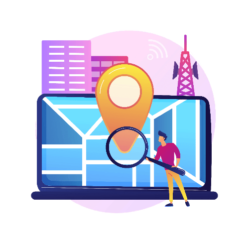
Navigation
Navigation mapping supports respective content providers by integrating GIS, GPS, and remote sensing technologies instead of the traditional approach of manual data assimilation for navigation content development. The resolution of the new technology ensures the creation of flawless maps. They allow you to view the map from multiple viewpoints, zoom in and out, and conceal selected features.
We Provide
GIS For Business, Marketing, and Sales
GIS provides the capacity to model and successfully implement simulations to illustrate the consequences that any changes may have over the location.
GIS plays a vital role in business-related platforms, it has the potential to support the business industry from franchise tracking and mapping to customer management systems and predicts future powerbases for your corporate.
Benefits
GIS Service That Goes Beyond The Norm
- Increased Support For Strategic Decision Making
- Accurate data for Disaster Management
- Enterprise level database development
- Clean And Clear Display Of Information
- Increased Quality And Efficiency For Public Services
- Better Geographic Information Mangement
- Management Of Natural Resources
- Improved Communication
- Improved Communications During the occurrence of A Crisis
- Asset Management
- Parcel Management
- Efficient Resource Planning
Tech Stack